Colorado knows how to keep us guessing. One minute we are waiting for that first real storm, the next we are wondering whether winter plans to show up at all. So far, November has been quiet. Warm days, dry nights, and clear skies have stretched across the state. The Denver metro area has yet to see its first flurry, and in the mountains, snowpack remains well below what we expect for this time of year.
Right now, many snow-monitoring stations are recording only a fraction of normal levels. In places like the Yampa and upper Colorado headwaters, snowpack has been hovering in the teens. The South Platte Basin is around a quarter of average. Soil moisture across much of the state is already low after a dry summer and fall, which means the first snow doesn’t just sit on the surface and build. Instead, it disappears into the ground like a sponge. That can delay the moment when water begins to accumulate as true snowpack.

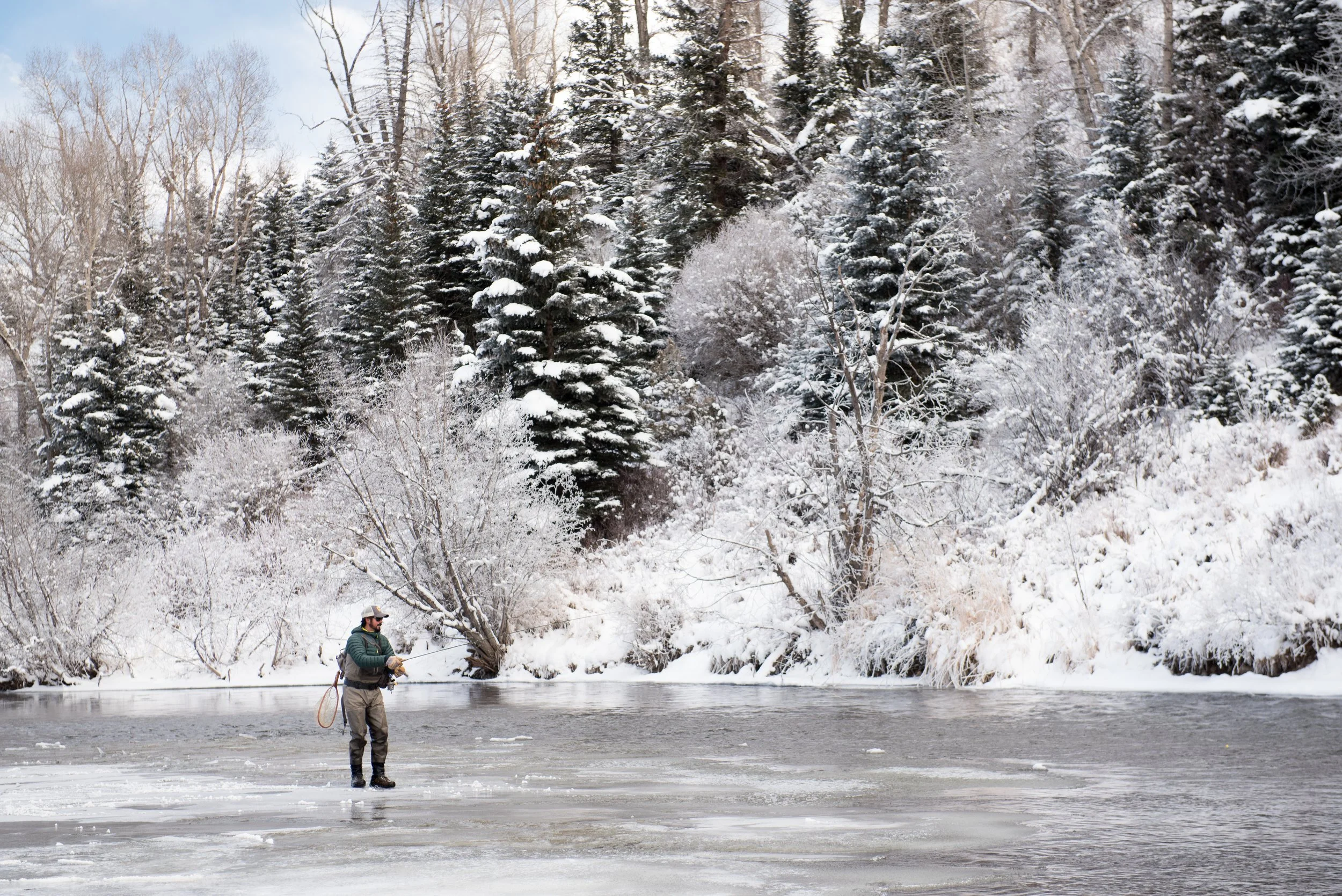
If you spend time outdoors, you can probably feel the difference. Rivers are running lower. Landscapes are holding more browns and golds than whites. Ski resorts are opening with help from snowmaking machines rather than natural storms.
For those of us working to protect wild and native trout and the rivers they depend on, slow starts like this come with concern. Snowpack is more than a backdrop to winter recreation. It is the backbone of Colorado’s water year. It feeds the Roaring Fork, the Poudre, the Gunnison, the South Platte, the San Miguel, the Dolores, the Arkansas, the Colorado River, and every stream and tributary in between. It shapes habitat conditions, spawning success, water quality, and the seasonal pulse that makes rivers thrive.
Still, there is room for hope. Colorado weather has a way of shifting quickly. We have seen patterns like this turn around before. A single storm can make a measurable difference, and a string of storms can change the entire trajectory of winter. Meteorologists are watching signs of a pattern change later this month that may finally bring colder air and more moisture to higher elevations.
The truth is, we are still early in the season. Snowpack typically climbs through late April, and some of Colorado’s strongest storms often arrive in March and April. A late surge is always possible, and even a weak start does not always mean a weak finish.
Until the clouds return, Colorado TU will continue doing what we do best: restoring rivers, advocating for smart water management, supporting conservation-based policy, and preparing to help rivers rebound when conditions shift. Drought years remind us why this work matters.
Every river needs a champion, especially when seasons run dry. We will keep watching the skies, watching the data, and working to ensure that when the snow does arrive, Colorado’s rivers are ready to carry that gift downstream.